
A landslide is a geological phenomenon of sudden movement of rock, earthen materials, and debris down a sloped section of land. This movement can be triggered by various natural and man-made factors.
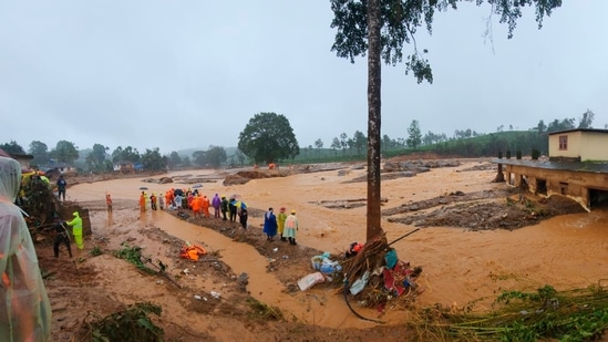
Rescuers and others inspect the spot after landslides hit hilly villages in Wayanad district, Kerala state, India.(AP)
Intense rain, severe earthquakes, volcanic activity or human activities like construction, deforestation, or changes in cropping patterns can trigger landslides. The forces that trigger a landslide event occur suddenly or get gradually build over time.
Five worst landslides in India’s history
Kedarnath, Uttarakhand (2013) – This landslide was triggered by unprecedented rain and floods in the Himalayan state. Over 5,700 people died and over 4,200 villages were washed away in one of the worst natural disasters the country has ever seen.
Darjeeling, West Bengal (1968) – On October 4, floods triggered a landslide that cut a 60 km long national highway into 91 parts. The catastrophe killed over 1,000 people and caused extensive damage to property, infrastructure, and tea plantations.
Guwahati, Assam (1948) – Heavy rains triggered a massive landslide during September burying an entire village and killing over 500 people.
Mapla village, undivided Uttar Pradesh (1998) – This incident was a series of consecutive landslides that occurred over seven days in August 1998. Over 380 people died as an entire village was wiped out marking one of the worst human tragedies in India.
Malin village, Maharashtra (2014) – On July 30, heavy rainfall caused a landslide leading to the deaths of around 151 people and 100 more were missing after the disaster.
Is India prone to landslides?
According to the National Disaster Management Authority, India is highly prone to landslides due to its tectonic position. The northward movement of the Indian landmass at a rate of 5 cm/year accumulates stress to which natural disasters like landslides are attributed.
Landslide Atlas of India released by the Indian Space Research Organisation (ISRO) listed some of the country’s most vulnerable areas. Apart from snow-covered areas, around 12.6% of India is vulnerable. Among them around 66.5% are in the north-western Himalayas, 18.8% are in the north-eastern Himalayas and around 14.7% are in the Western Ghats region.
In India, the Disaster Management Act of 2005 provides a comprehensive institutional and legal framework to deal with various natural disasters including landslides.
Images are for reference only.Images and contents gathered automatic from google or 3rd party sources.All rights on the images and contents are with their legal original owners.
Comments are closed, but trackbacks and pingbacks are open.