
Was a long read? Making it simpler…
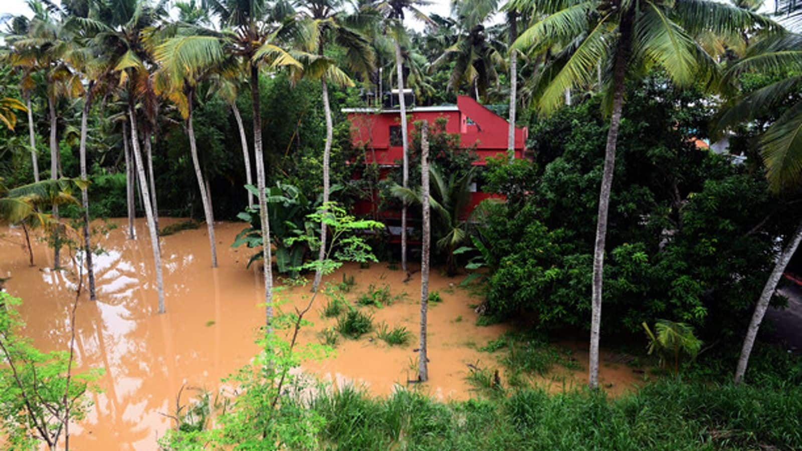
Chennai faces submergence due to rising sea levels
What’s the story
A recent study by the Center for Study of Science, Technology and Policy (CSTEP) predicted that rising sea levels will submerge approximately 7% of Chennai‘s land by 2040.
The report, titled Sea level rise scenarios and inundation maps for selected Indian coastal cities, was released on Thursday.
It identifies several key areas in Chennai, including Adyar Eco-Park, Island Ground, State Emblem Monument, Pallikaranai wetland and port as high-risk zones due to the expected sea level rise.
Chennai’s inundation to increase progressively: CSTEP report
The CSTEP report further indicates that the inundation of the Chennai Metropolitan Area (CMA) will progressively increase over the years.
By 2040, it is projected to reach 7.29% (86.6 sq.km), escalating to 9.65% (114.31 sq.km) by 2060, and peaking at a significant 16.9% (207.04 sq.km) by the end of this century.
The Chennai Metropolitan Area is India’s fourth most populated metropolitan area and the 35th most populous in the world.
Chennai’s sea level rise: A comparative analysis
The study also reveals that Chennai has experienced a sea level rise of 0.679cm from 1987 to 2021, with an annual increase of 0.066cm.
Mumbai station recorded the highest sea level rise over the past three decades at 4.44cm or an annual increase of 0.31cm.
The CSTEP report highlights the correlation between increasing urbanization trends along the coast and vulnerability due to climate change drivers.
The study analyzed 15 cities and towns from both east and west coasts of India.
Images are for reference only.Images and contents gathered automatic from google or 3rd party sources.All rights on the images and contents are with their legal original owners.
Comments are closed, but trackbacks and pingbacks are open.