
Hyderabad: The Greater Hyderabad Municipal Corporation (GHMC) is conducting an Integrated Geographic Information System (GIS) survey to map every property and utility within the city’s jurisdiction with precision.
According to a press release from the GHMC, 90 teams each consisting of two members, are working on the project, said GHMC commissioner Amrapali Kata. Plans are in place to expand the teams to a total of 600 over the next six months, depending on the survey requirements.
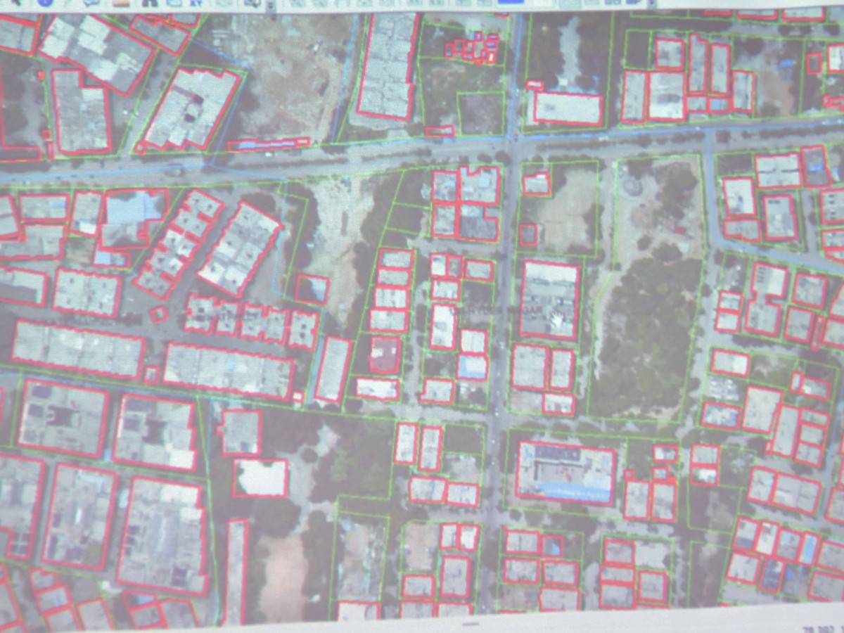
The ongoing GIS mapping is covering Hydernagar, Miyapur, Chandanagar, KPHB Colony, Uppal, and Hayath Nagar. These areas span five GHMC circles: Kukatpally, Moosapet, Chandanagar, Uppal, and Hayath Nagar.
Whereas, the next phase will focus on Madhapur, Serilingampally, Allwyn Colony, Vivekananda Nagar Colony, Gajularamaram, Subhash Nagar, Nagole, and RC Puram. This will extend the survey to additional GHMC circles: Serilingampally, Gajularamaram, and RC Puram.
GHMC Commissioner Amrapali said one of the key outcomes of the project will be the creation of unique identification numbers, referred to as digital addresses, for each property. These digital addresses will improve the precision of service delivery. For instance, garbage collection and emergency management will become more efficient with the exact location.
The newly developed map will encompass detailed information about all buildings, roads, and essential utilities such as water and electricity. This comprehensive mapping will enable the government to better plan for future development and infrastructure needs.
Additionally, it will simplify the maintenance of infrastructure in Hyderabad by making it easier to locate streetlights, pipes, and other critical components that require repairs. Companies offering electricity, water, and gas, will benefit from the enhanced ability to locate residences for new connections or maintenance services.
It is said to also help citizens, as enhanced address accuracy will aid in navigation and travel within the city, making it easier for individuals to find destinations. GHMC officials have assured that the survey on Hyderabad will not involve the collection of personal details and emphasized that it is solely for the protection of assets. Residents need not worry about an increase in property tax as a result of this survey.
They further stated that this GIS survey follows similar initiatives in towns across Uttar Pradesh and Madhya Pradesh, where comprehensive mapping was carried out. The GHMC has called for the cooperation of residents during the physical survey phase.
On Monday, July 29, All India Majlis-e-Ittehadul Muslimeen (AIMIM) floor leader Akbaruddin Owaisi expressed concerns about the GIS survey. He highlighted that many properties are notarized and questioned the survey’s benefits. Owaisi stated, “The survey will be of no benefit to us. Instead, we should focus on how many residential areas are being converted into commercial properties.”
Images are for reference only.Images and contents gathered automatic from google or 3rd party sources.All rights on the images and contents are with their legal original owners.
Comments are closed, but trackbacks and pingbacks are open.